


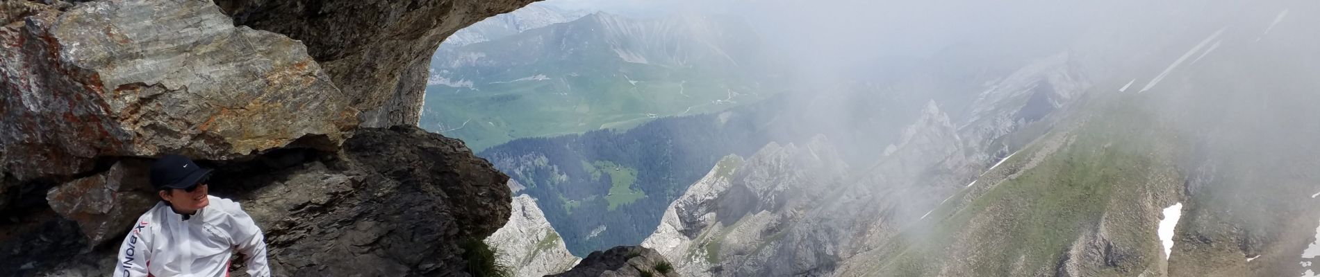
trou de la mouche

gamille67
User


Length
8.2 km

Max alt
2440 m

Uphill gradient
985 m
Km-Effort
21 km

Min alt
1438 m

Downhill gradient
1013 m
Boucle
No
Creation date :
2021-06-26 08:11:23.844
Updated on :
2021-06-26 14:39:11.756
4h29
Difficulty : Difficult

FREE GPS app for hiking
 SityTrail
IGN / Geographical institutes
SityTrail Plus
The world is yours!
About
Trail Walking of 8.2 km to be discovered at Auvergne-Rhône-Alpes, Upper Savoy, La Clusaz. This trail is proposed by gamille67.
Description
moins de deux heures pour la montée, un peu moins mais à peine pour la descente, le reste au sommet.
Photos


Positioning
Country:
France
Region :
Auvergne-Rhône-Alpes
Department/Province :
Upper Savoy
Municipality :
La Clusaz
Location:
Unknown
Start:(Dec)
Start:(UTM)
305067 ; 5088350 (32T) N.
Comments