


Refuge lac blanc/lac persévérance/lacs Chéserys

geoffrayLayeux
User

Length
9.9 km

Max alt
2472 m

Uphill gradient
674 m
Km-Effort
18.9 km

Min alt
1848 m

Downhill gradient
675 m
Boucle
Yes
Creation date :
2021-06-27 13:39:30.439
Updated on :
2021-06-27 13:40:28.916
4h17
Difficulty : Difficult

FREE GPS app for hiking
 SityTrail
IGN / Geographical institutes
SityTrail Plus
The world is yours!
About
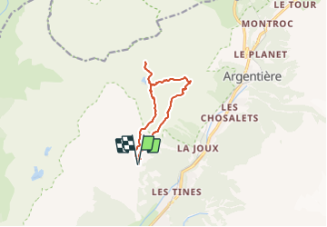
Trail Walking of 9.9 km to be discovered at Auvergne-Rhône-Alpes, Upper Savoy, Chamonix-Mont-Blanc. This trail is proposed by geoffrayLayeux.
Positioning
Country:
France
Region :
Auvergne-Rhône-Alpes
Department/Province :
Upper Savoy
Municipality :
Chamonix-Mont-Blanc
Location:
Unknown
Start:(Dec)
Start:(UTM)
336242 ; 5091832 (32T) N.
Comments