


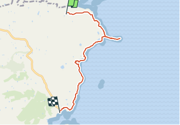


3.9 km | 4.7 km-effort

User GUIDE


FREE GPS app for hiking
 SityTrail
IGN / Geographical institutes
SityTrail World
The world is yours!
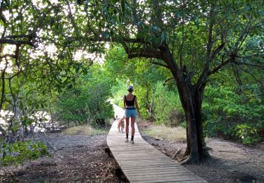
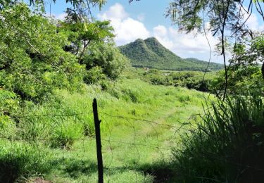
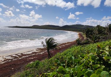
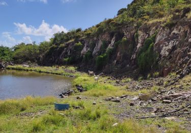
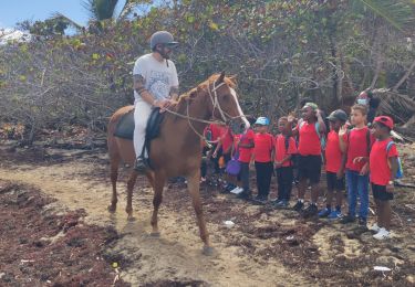
Trail Walking of 8 km to be discovered at Martinique, Unknown, Sainte-Anne. This trail is proposed by GabyG.
Cette randonnée étant très belle, mais présente de petits problèmes lors de sa pratique.
1* Campeurs sur le site "Anse aux Bois"
2* Lors du franchissement d'un Estuaire, important dépôt de sargasses pouvant entrainer un danger pour le randonneur.
3* Parcours très escarpé et exposé par moment au soleil.
Malgré ceci, c'est un très beau parcours sur la trace des Caps... Avec beaucoup de découvertes.


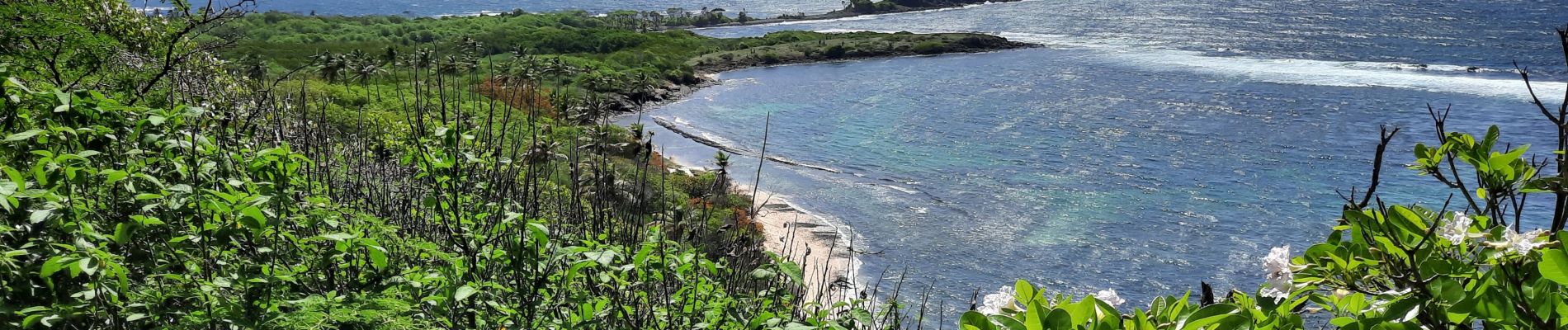
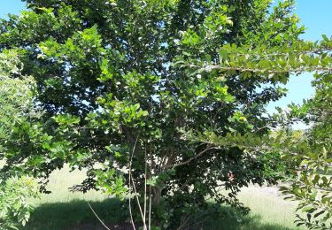
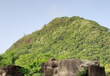
21 photos in total. Please click on a photo to see them all in the gallery.
Walking
Walking

Walking
Walking

Mountain bike
Walking
Walking
Walking
Walking