


Queyrs jour 1

chasle
User


Length
17 km

Max alt
2477 m

Uphill gradient
1325 m
Km-Effort
32 km

Min alt
1181 m

Downhill gradient
650 m
Boucle
No
Creation date :
2021-06-30 02:53:25.023
Updated on :
2021-06-30 09:23:26.18
4h53
Difficulty : Difficult

FREE GPS app for hiking
 SityTrail
IGN / Geographical institutes
SityTrail Plus
The world is yours!
About
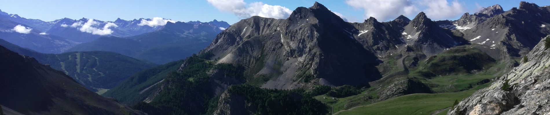
Trail Walking of 17 km to be discovered at Provence-Alpes-Côte d'Azur, Hautes-Alpes, Briançon. This trail is proposed by chasle.
Photos


Positioning
Country:
France
Region :
Provence-Alpes-Côte d'Azur
Department/Province :
Hautes-Alpes
Municipality :
Briançon
Location:
Unknown
Start:(Dec)
Start:(UTM)
311736 ; 4972076 (32T) N.
Comments