


Le pas de la chevre

jphugon
User

Length
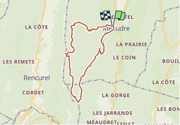
15.2 km

Max alt
1551 m

Uphill gradient
791 m
Km-Effort
26 km

Min alt
993 m

Downhill gradient
789 m
Boucle
Yes
Creation date :
2021-07-01 07:49:46.458
Updated on :
2021-07-03 05:22:12.292
7h17
Difficulty : Very difficult

FREE GPS app for hiking
 SityTrail
IGN / Geographical institutes
SityTrail Plus
The world is yours!
About
Trail Walking of 15.2 km to be discovered at Auvergne-Rhône-Alpes, Isère, Autrans-Méaudre en Vercors. This trail is proposed by jphugon.
Description
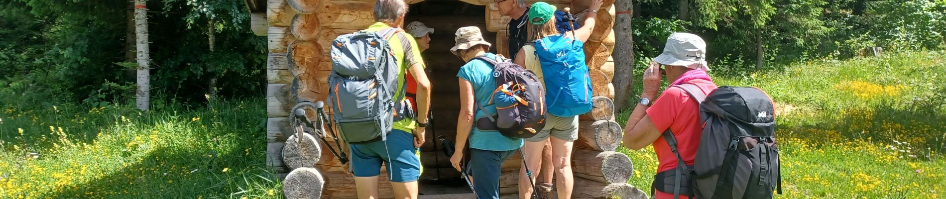
départ station de Méaudre
Photos


Positioning
Country:
France
Region :
Auvergne-Rhône-Alpes
Department/Province :
Isère
Municipality :
Autrans-Méaudre en Vercors
Location:
Méaudre
Start:(Dec)
Start:(UTM)
698575 ; 5000212 (31T) N.
Comments