


Queyras jour 3

chasle
User
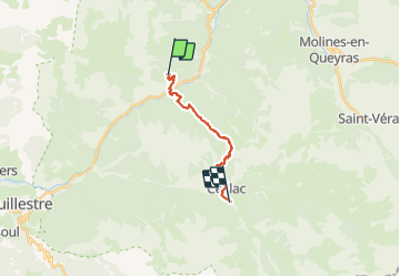

Length
15.2 km

Max alt
2250 m

Uphill gradient
1087 m
Km-Effort
29 km

Min alt
1188 m

Downhill gradient
990 m
Boucle
No
Creation date :
2021-07-02 03:35:42.799
Updated on :
2021-07-02 11:47:39.862
4h37
Difficulty : Difficult

FREE GPS app for hiking
 SityTrail
IGN / Geographical institutes
SityTrail Plus
The world is yours!
About
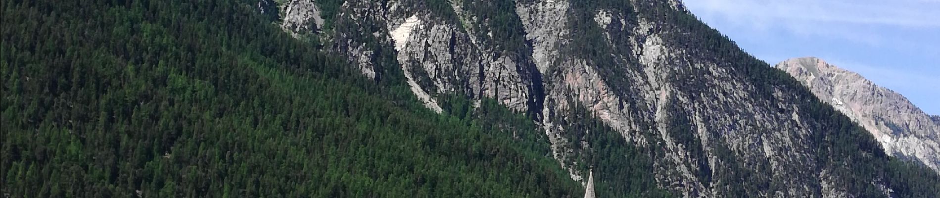
Trail Walking of 15.2 km to be discovered at Provence-Alpes-Côte d'Azur, Hautes-Alpes, Arvieux. This trail is proposed by chasle.
Photos


Positioning
Country:
France
Region :
Provence-Alpes-Côte d'Azur
Department/Province :
Hautes-Alpes
Municipality :
Arvieux
Location:
Unknown
Start:(Dec)
Start:(UTM)
321157 ; 4954162 (32T) N.
Comments