


Nailloux

richardsimopons
User
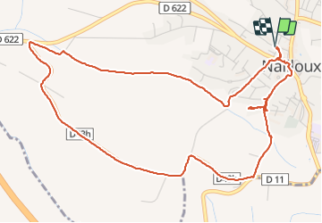

Length
7.1 km

Max alt
289 m

Uphill gradient
131 m
Km-Effort
8.8 km

Min alt
214 m

Downhill gradient
130 m
Boucle
Yes
Creation date :
2021-07-03 06:28:16.0
Updated on :
2021-07-03 08:16:05.904
1h47
Difficulty : Medium

FREE GPS app for hiking
 SityTrail
IGN / Geographical institutes
SityTrail Plus
The world is yours!
About
Trail Walking of 7.1 km to be discovered at Occitania, Haute-Garonne, Nailloux. This trail is proposed by richardsimopons.
Description
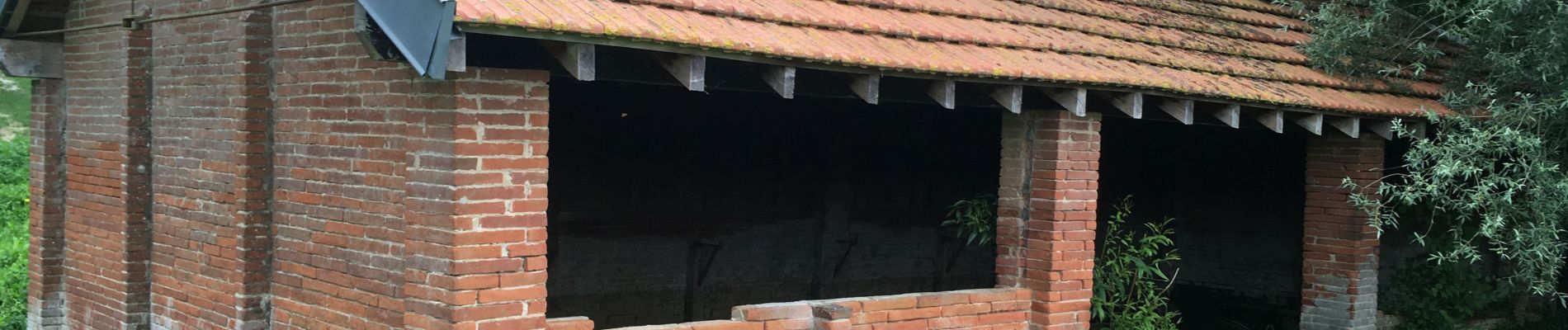
Les alentours de Nailloux : agréable mais un peu trop de route goudronnée à faire (2,2 km).
Photos


Positioning
Country:
France
Region :
Occitania
Department/Province :
Haute-Garonne
Municipality :
Nailloux
Location:
Unknown
Start:(Dec)
Start:(UTM)
388316 ; 4801409 (31T) N.
Comments