


Chemin des rondeaux

Fky78
User
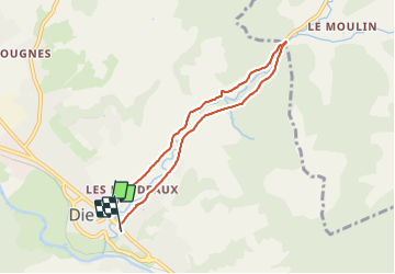

Length
6.7 km

Max alt
510 m

Uphill gradient
113 m
Km-Effort
8.2 km

Min alt
412 m

Downhill gradient
114 m
Boucle
No
Creation date :
2021-07-03 16:23:38.289
Updated on :
2021-07-05 10:10:40.973
1h40
Difficulty : Very easy

FREE GPS app for hiking
 SityTrail
IGN / Geographical institutes
SityTrail Plus
The world is yours!
About
Trail Walking of 6.7 km to be discovered at Auvergne-Rhône-Alpes, Drôme, Die. This trail is proposed by Fky78.
Description
Balade tranquille pour une fin d après midi
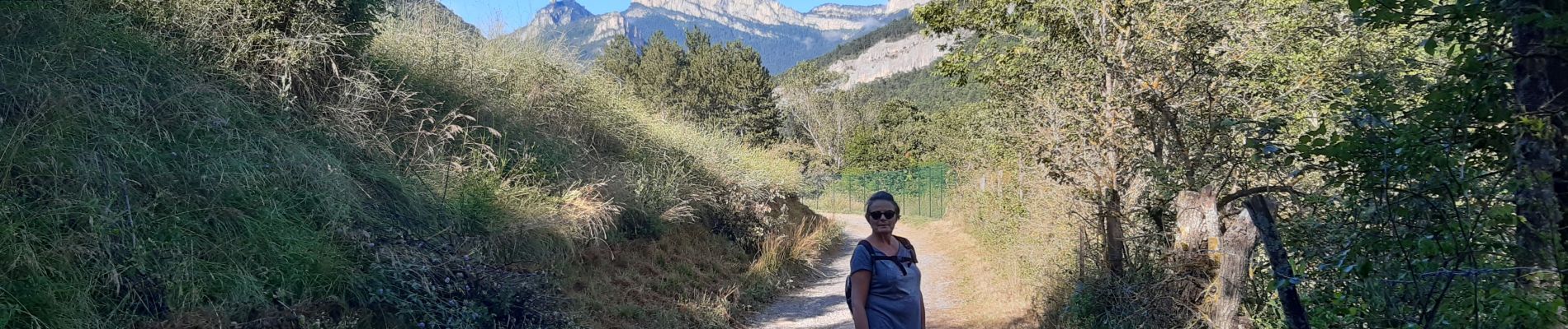
Photos

Positioning
Country:
France
Region :
Auvergne-Rhône-Alpes
Department/Province :
Drôme
Municipality :
Die
Location:
Unknown
Start:(Dec)
Start:(UTM)
687848 ; 4958284 (31T) N.
Comments