


col de la Bourbiere

oliviergau
User

Length
19.2 km

Max alt
2343 m

Uphill gradient
1635 m
Km-Effort
41 km

Min alt
829 m

Downhill gradient
1640 m
Boucle
Yes
Creation date :
2021-07-06 05:43:27.59
Updated on :
2021-07-06 18:59:45.598
6h10
Difficulty : Very difficult

FREE GPS app for hiking
 SityTrail
IGN / Geographical institutes
SityTrail Plus
The world is yours!
About
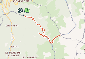
Trail Walking of 19.2 km to be discovered at Auvergne-Rhône-Alpes, Isère, Allevard. This trail is proposed by oliviergau.
Positioning
Country:
France
Region :
Auvergne-Rhône-Alpes
Department/Province :
Isère
Municipality :
Allevard
Location:
Unknown
Start:(Dec)
Start:(UTM)
274159 ; 5029090 (32T) N.
Comments