


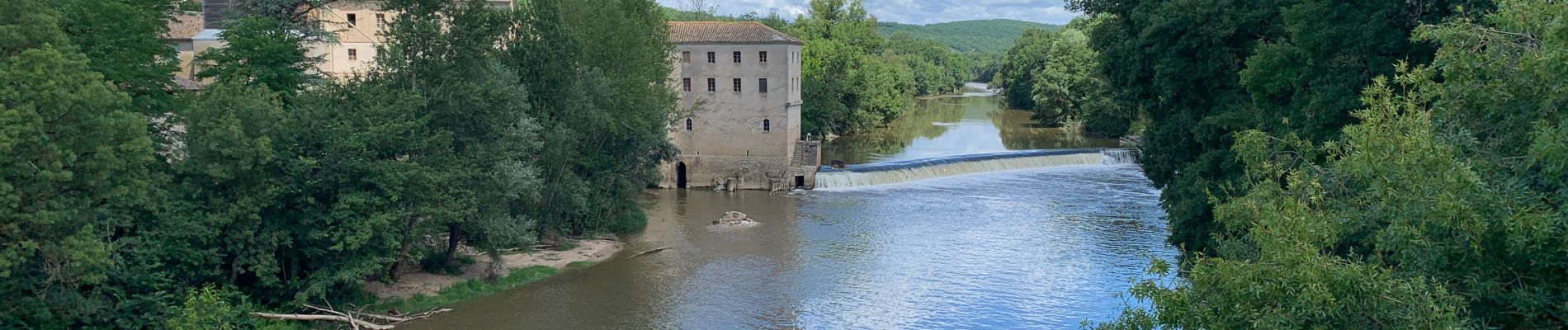
Montricoux

viaul
User GUIDE
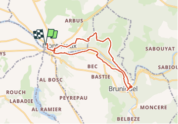

Length
16.7 km

Max alt
227 m

Uphill gradient
328 m
Km-Effort
21 km

Min alt
93 m

Downhill gradient
328 m
Boucle
Yes
Creation date :
2021-07-07 08:19:12.0
Updated on :
2021-07-07 13:31:56.876
5h12
Difficulty : Medium

FREE GPS app for hiking
 SityTrail
IGN / Geographical institutes
SityTrail Plus
The world is yours!
About
Trail Walking of 16.7 km to be discovered at Occitania, Tarn-et-Garonne, Montricoux. This trail is proposed by viaul.
Description
Très bien de jolis points de vues
Photos


Positioning
Country:
France
Region :
Occitania
Department/Province :
Tarn-et-Garonne
Municipality :
Montricoux
Location:
Unknown
Start:(Dec)
Start:(UTM)
388777 ; 4881352 (31T) N.
Comments