


bruniquel (82) le 08/07/2021

dudu79
User
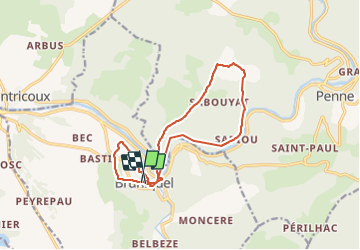

Length
15 km

Max alt
278 m

Uphill gradient
458 m
Km-Effort
21 km

Min alt
101 m

Downhill gradient
451 m
Boucle
Yes
Creation date :
2021-07-08 07:47:28.04
Updated on :
2021-07-08 13:41:14.491
3h18
Difficulty : Very difficult

FREE GPS app for hiking
 SityTrail
IGN / Geographical institutes
SityTrail Plus
The world is yours!
About
Trail Walking of 15 km to be discovered at Occitania, Tarn-et-Garonne, Bruniquel. This trail is proposed by dudu79.
Description
rando avec Jean Marc et Catherine
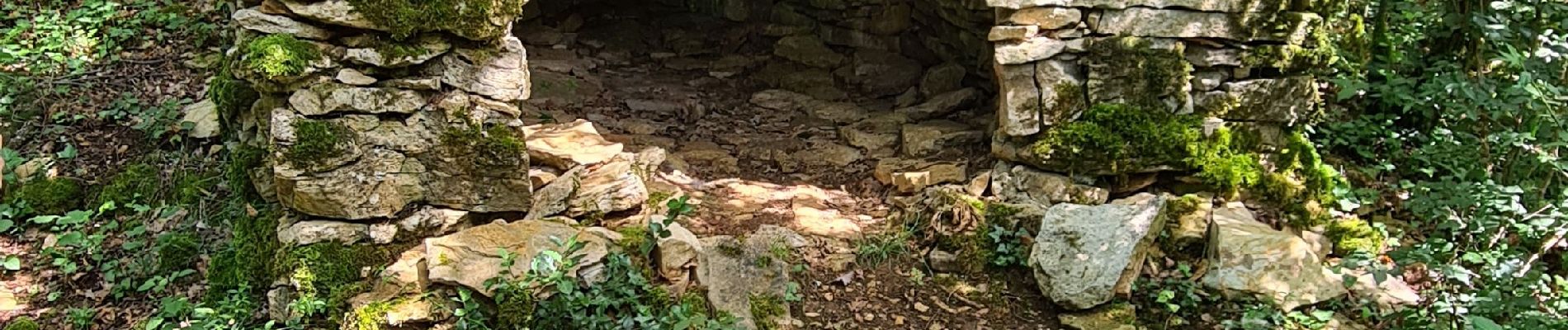
Photos
 le 08/07/2021 - Photo 1")
 le 08/07/2021 - Photo 2")
Positioning
Country:
France
Region :
Occitania
Department/Province :
Tarn-et-Garonne
Municipality :
Bruniquel
Location:
Unknown
Start:(Dec)
Start:(UTM)
392957 ; 4878878 (31T) N.
Comments