


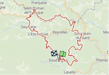

17.7 km | 26 km-effort


User


FREE GPS app for hiking
 SityTrail
IGN / Geographical institutes
SityTrail World
The world is yours!
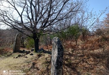
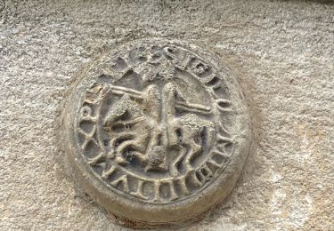
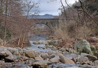
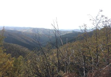
Trail Road bike of 60 km to be discovered at Occitania, Gard, Soudorgues. This trail is proposed by 404150MA.
En partant de Soudorgue et en passant par St jean du Gard, col de St pierre et col du Mercou
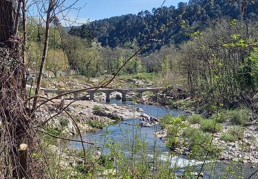
Walking
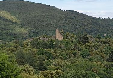
Walking
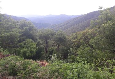

Walking
On foot

Walking
Walking