


20210709 vélo route

Sugg
User


Length
62 km

Max alt
187 m

Uphill gradient
602 m
Km-Effort
70 km

Min alt
39 m

Downhill gradient
602 m
Boucle
Yes
Creation date :
2021-07-09 06:24:52.732
Updated on :
2021-07-09 10:42:36.26
3h30
Difficulty : Medium

FREE GPS app for hiking
 SityTrail
IGN / Geographical institutes
SityTrail Plus
The world is yours!
About
Trail Road bike of 62 km to be discovered at Provence-Alpes-Côte d'Azur, Var, Draguignan. This trail is proposed by Sugg.
Description
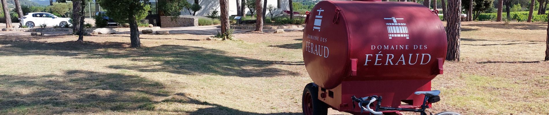
trans les Arcs Taradeau vidauban pont d'aille les ferrauds et retour arrêt base de loisirs café ☕ etc....voie verte.
63 kms 3h tranquille.
Photos

Positioning
Country:
France
Region :
Provence-Alpes-Côte d'Azur
Department/Province :
Var
Municipality :
Draguignan
Location:
Unknown
Start:(Dec)
Start:(UTM)
294893 ; 4823275 (32T) N.
Comments