


Schirmeck le Donon

taguette
User

Length
21 km

Max alt
996 m

Uphill gradient
759 m
Km-Effort
31 km

Min alt
303 m

Downhill gradient
758 m
Boucle
Yes
Creation date :
2021-07-10 06:41:42.48
Updated on :
2021-07-10 12:10:41.818
5h23
Difficulty : Very difficult

FREE GPS app for hiking
 SityTrail
IGN / Geographical institutes
SityTrail Plus
The world is yours!
About
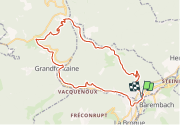
Trail Walking of 21 km to be discovered at Grand Est, Bas-Rhin, Schirmeck. This trail is proposed by taguette.
Positioning
Country:
France
Region :
Grand Est
Department/Province :
Bas-Rhin
Municipality :
Schirmeck
Location:
Unknown
Start:(Dec)
Start:(UTM)
368473 ; 5371214 (32U) N.
Comments