


Queyras jour 12

chasle
User
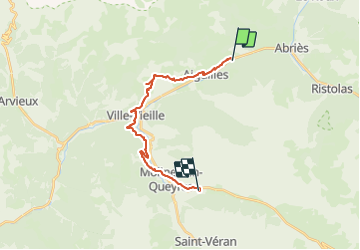

Length
21 km

Max alt
1923 m

Uphill gradient
1132 m
Km-Effort
34 km

Min alt
1373 m

Downhill gradient
729 m
Boucle
No
Creation date :
2021-07-11 03:37:19.539
Updated on :
2021-07-11 10:37:55.167
5h30
Difficulty : Difficult

FREE GPS app for hiking
 SityTrail
IGN / Geographical institutes
SityTrail Plus
The world is yours!
About
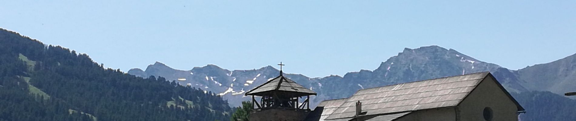
Trail Walking of 21 km to be discovered at Provence-Alpes-Côte d'Azur, Hautes-Alpes, Aiguilles. This trail is proposed by chasle.
Photos


Positioning
Country:
France
Region :
Provence-Alpes-Côte d'Azur
Department/Province :
Hautes-Alpes
Municipality :
Aiguilles
Location:
Unknown
Start:(Dec)
Start:(UTM)
332853 ; 4961537 (32T) N.
Comments