


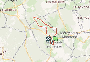
montrond le chateau

eltonnermou
User

Length
9.2 km

Max alt
458 m

Uphill gradient
118 m
Km-Effort
10.8 km

Min alt
412 m

Downhill gradient
118 m
Boucle
Yes
Creation date :
2021-07-12 12:03:54.176
Updated on :
2021-07-25 16:43:03.033
3h34
Difficulty : Very easy

FREE GPS app for hiking
 SityTrail
IGN / Geographical institutes
SityTrail Plus
The world is yours!
About
Trail Walking of 9.2 km to be discovered at Bourgogne-Franche-Comté, Doubs, Montrond-le-Château. This trail is proposed by eltonnermou.
Description
randonnée agréable en plaine, à faire un après midi d'automne pour avoir les splendides couleurs des feuilles.
Positioning
Country:
France
Region :
Bourgogne-Franche-Comté
Department/Province :
Doubs
Municipality :
Montrond-le-Château
Location:
Unknown
Start:(Dec)
Start:(UTM)
275922 ; 5225274 (32T) N.
Comments