


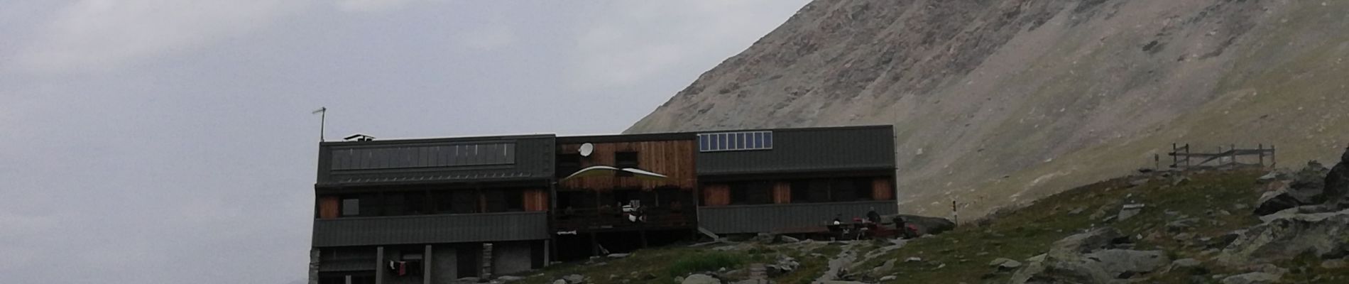
Queyras jour 13

chasle
User
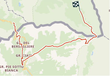

Length
19.3 km

Max alt
2869 m

Uphill gradient
1106 m
Km-Effort
35 km

Min alt
2007 m

Downhill gradient
1272 m
Boucle
No
Creation date :
2021-07-12 03:32:41.305
Updated on :
2021-07-13 14:16:51.738
6h25
Difficulty : Difficult

FREE GPS app for hiking
 SityTrail
IGN / Geographical institutes
SityTrail Plus
The world is yours!
About
Trail Walking of 19.3 km to be discovered at Provence-Alpes-Côte d'Azur, Hautes-Alpes, Molines-en-Queyras. This trail is proposed by chasle.
Photos


Positioning
Country:
France
Region :
Provence-Alpes-Côte d'Azur
Department/Province :
Hautes-Alpes
Municipality :
Molines-en-Queyras
Location:
Unknown
Start:(Dec)
Start:(UTM)
339670 ; 4950585 (32T) N.
Comments