


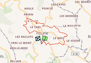
les vignes de Fleurie

reneperrin
User

Length
8.1 km

Max alt
425 m

Uphill gradient
198 m
Km-Effort
10.8 km

Min alt
236 m

Downhill gradient
198 m
Boucle
Yes
Creation date :
2021-07-15 07:47:31.238
Updated on :
2021-07-15 09:55:16.427
2h01
Difficulty : Easy

FREE GPS app for hiking
 SityTrail
IGN / Geographical institutes
SityTrail Plus
The world is yours!
About
Trail Walking of 8.1 km to be discovered at Auvergne-Rhône-Alpes, Rhône, Fleurie. This trail is proposed by reneperrin.
Description
boucle autour de Fleurie
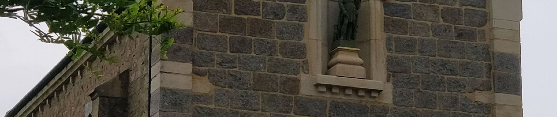
Photos


Positioning
Country:
France
Region :
Auvergne-Rhône-Alpes
Department/Province :
Rhône
Municipality :
Fleurie
Location:
Unknown
Start:(Dec)
Start:(UTM)
631008 ; 5116212 (31T) N.
Comments