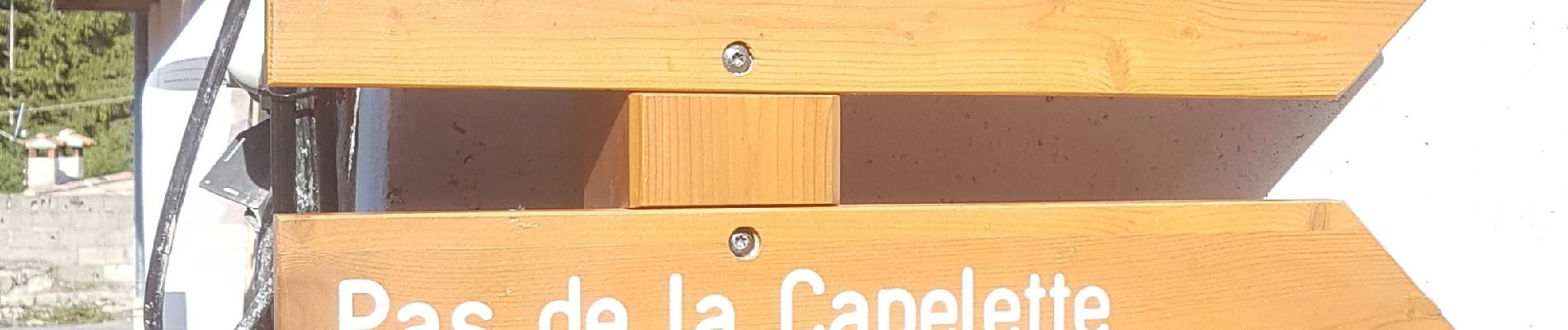
Baisse de Bécass

Renefrt
User

Length
11.4 km

Max alt
1366 m

Uphill gradient
628 m
Km-Effort
19.8 km

Min alt
792 m

Downhill gradient
627 m
Boucle
Yes
Creation date :
2021-07-15 06:42:35.214
Updated on :
2021-07-15 20:56:01.15
6h10
Difficulty : Medium

FREE GPS app for hiking
 SityTrail
IGN / Geographical institutes
SityTrail Plus
The world is yours!
About
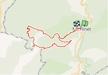
Trail Walking of 11.4 km to be discovered at Provence-Alpes-Côte d'Azur, Maritime Alps, Moulinet. This trail is proposed by Renefrt.
Description
Sur la photo du parcours petite déviation que nous avions effectuée (soit 2,5 km de plus).
Pou le départ dans le village il vaut mieux demander à un habitant
Photos


Positioning
Country:
France
Region :
Provence-Alpes-Côte d'Azur
Department/Province :
Maritime Alps
Municipality :
Moulinet
Location:
Unknown
Start:(Dec)
Start:(UTM)
372606 ; 4866521 (32T) N.
Comments