


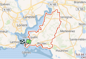
Port Louis Pont du Bonhomme Port Louis

jackalv
User

Length
40 km

Max alt
58 m

Uphill gradient
395 m
Km-Effort
45 km

Min alt
-2 m

Downhill gradient
392 m
Boucle
Yes
Creation date :
2021-07-15 05:45:35.338
Updated on :
2021-07-15 13:17:00.441
6h59
Difficulty : Easy

FREE GPS app for hiking
 SityTrail
IGN / Geographical institutes
SityTrail Plus
The world is yours!
About
Trail Walking of 40 km to be discovered at Brittany, Morbihan, Port-Louis. This trail is proposed by jackalv.
Positioning
Country:
France
Region :
Brittany
Department/Province :
Morbihan
Municipality :
Port-Louis
Location:
Unknown
Start:(Dec)
Start:(UTM)
473289 ; 5283582 (30T) N.
Comments