


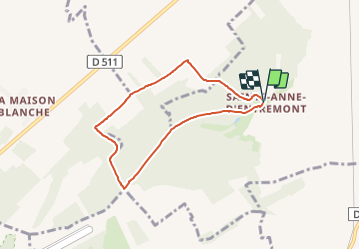

104 km | 127 km-effort


User


FREE GPS app for hiking
 SityTrail
IGN / Geographical institutes
SityTrail World
The world is yours!
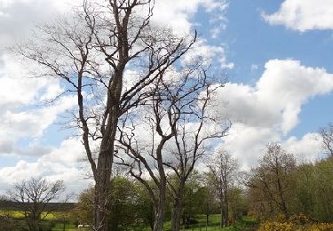
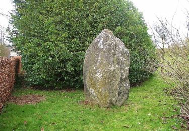
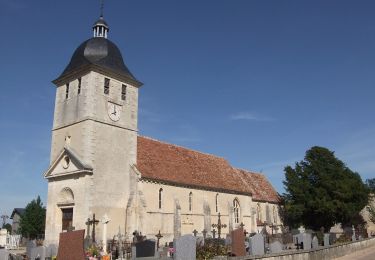
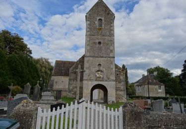
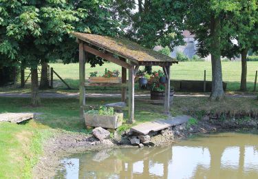
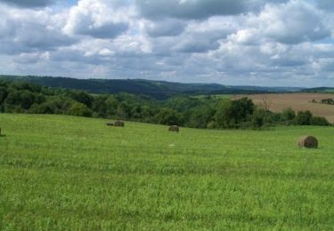
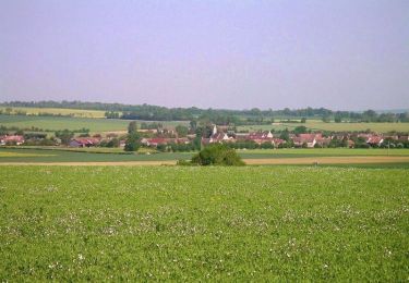
Trail Geocaching of 5.9 km to be discovered at Normandy, Calvados, Bernières-d'Ailly. This trail is proposed by yannick-p.
Mountain bike
Mountain bike
On foot
On foot
On foot
Mountain bike
Mountain bike

Nordic walking
On foot