


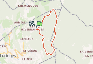

7.3 km | 13.9 km-effort


User


FREE GPS app for hiking
 SityTrail
IGN / Geographical institutes
SityTrail World
The world is yours!
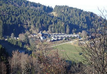
Trail Walking of 6.8 km to be discovered at Auvergne-Rhône-Alpes, Upper Savoy, Lucinges. This trail is proposed by Myrostates.
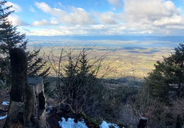
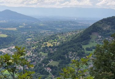
Rando de la Boucle des Balcons a Lucinges, les Voirons par le Pralère.
Walking

Walking
Walking
Equestrian
Mountain bike

Walking

Electric bike

On foot

Walking