


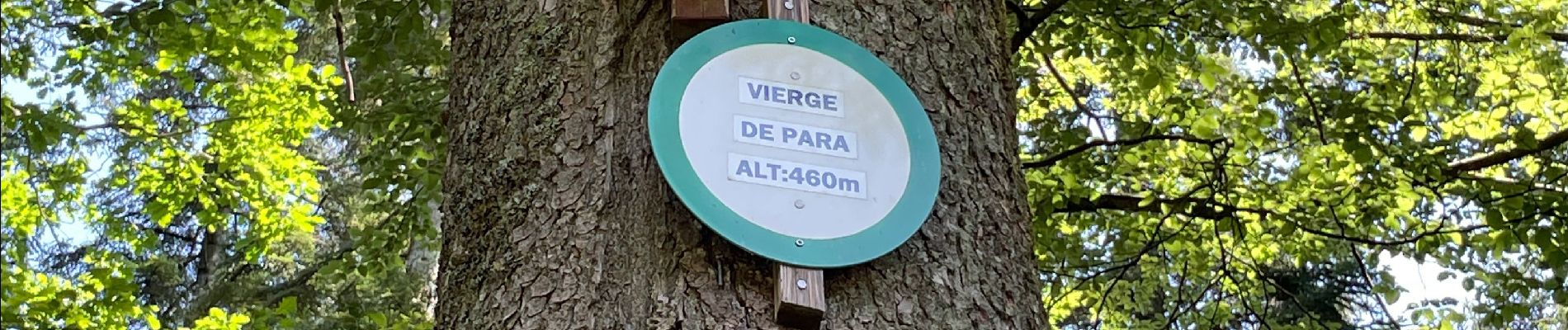
Lac de Pierre Percée

francoisecarlier
User
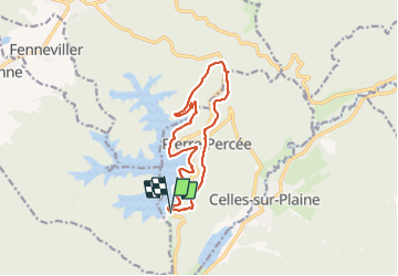

Length
12.8 km

Max alt
495 m

Uphill gradient
315 m
Km-Effort
17 km

Min alt
381 m

Downhill gradient
311 m
Boucle
Yes
Creation date :
2021-07-18 11:09:52.0
Updated on :
2022-03-01 06:52:06.36
3h10
Difficulty : Difficult

FREE GPS app for hiking
 SityTrail
IGN / Geographical institutes
SityTrail Plus
The world is yours!
About
Trail Walking of 12.8 km to be discovered at Grand Est, Meurthe-et-Moselle, Pierre-Percée. This trail is proposed by francoisecarlier.
Photos


Positioning
Country:
France
Region :
Grand Est
Department/Province :
Meurthe-et-Moselle
Municipality :
Pierre-Percée
Location:
Unknown
Start:(Dec)
Start:(UTM)
346321 ; 5368836 (32U) N.
Comments