


la loge des gardes

bendoush
User
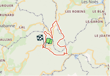

Length
12.5 km

Max alt
1110 m

Uphill gradient
266 m
Km-Effort
16.1 km

Min alt
977 m

Downhill gradient
271 m
Boucle
No
Creation date :
2021-07-19 09:35:21.639
Updated on :
2021-07-20 06:19:37.843
3h57
Difficulty : Easy

FREE GPS app for hiking
 SityTrail
IGN / Geographical institutes
SityTrail Plus
The world is yours!
About
Trail Walking of 12.5 km to be discovered at Auvergne-Rhône-Alpes, Allier, Laprugne. This trail is proposed by bendoush.
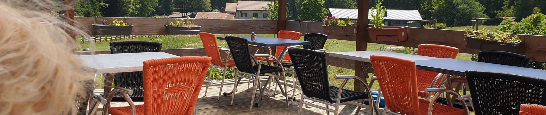
Photos

Positioning
Country:
France
Region :
Auvergne-Rhône-Alpes
Department/Province :
Allier
Municipality :
Laprugne
Location:
Unknown
Start:(Dec)
Start:(UTM)
562036 ; 5094897 (31T) N.
Comments