


col de la pousterle

Maca8284
User
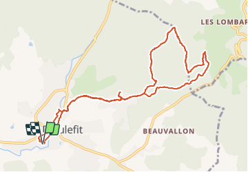

Length
12.2 km

Max alt
927 m

Uphill gradient
594 m
Km-Effort
20 km

Min alt
367 m

Downhill gradient
594 m
Boucle
Yes
Creation date :
2021-07-20 06:48:05.203
Updated on :
2021-07-20 11:24:22.018
4h34
Difficulty : Very difficult

FREE GPS app for hiking
 SityTrail
IGN / Geographical institutes
SityTrail Plus
The world is yours!
About
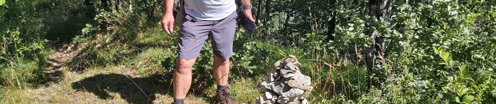
Trail Walking of 12.2 km to be discovered at Auvergne-Rhône-Alpes, Drôme, Dieulefit. This trail is proposed by Maca8284.
Photos


Positioning
Country:
France
Region :
Auvergne-Rhône-Alpes
Department/Province :
Drôme
Municipality :
Dieulefit
Location:
Unknown
Start:(Dec)
Start:(UTM)
663834 ; 4931833 (31T) N.
Comments