


col Sainte Marie aux mines

apa
User


Length
14.5 km

Max alt
1031 m

Uphill gradient
548 m
Km-Effort
22 km

Min alt
774 m

Downhill gradient
546 m
Boucle
Yes
Creation date :
2021-07-20 07:37:06.669
Updated on :
2021-07-20 13:47:38.114
4h20
Difficulty : Very difficult

FREE GPS app for hiking
 SityTrail
IGN / Geographical institutes
SityTrail Plus
The world is yours!
About
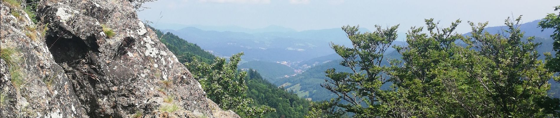
Trail Walking of 14.5 km to be discovered at Grand Est, Vosges, Gemaingoutte. This trail is proposed by apa.
Description
Cool
Photos


Positioning
Country:
France
Region :
Grand Est
Department/Province :
Vosges
Municipality :
Gemaingoutte
Location:
Unknown
Start:(Dec)
Start:(UTM)
361362 ; 5344999 (32U) N.
Comments