


Col Longet.Pic Traversier. 21/07/21

Dervalmarc
User
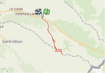

Length
10.3 km

Max alt
2871 m

Uphill gradient
863 m
Km-Effort
22 km

Min alt
2022 m

Downhill gradient
863 m
Boucle
Yes
Creation date :
2021-07-21 06:51:39.318
Updated on :
2021-07-22 06:39:13.507
5h44
Difficulty : Medium

FREE GPS app for hiking
 SityTrail
IGN / Geographical institutes
SityTrail Plus
The world is yours!
About
Trail Walking of 10.3 km to be discovered at Provence-Alpes-Côte d'Azur, Hautes-Alpes, Molines-en-Queyras. This trail is proposed by Dervalmarc.
Description
Randonnée facile.Sans difficultés techniques.
A partir du Col la montée sur la Cime exige une grande prudence.
parcours de Crête aérienne
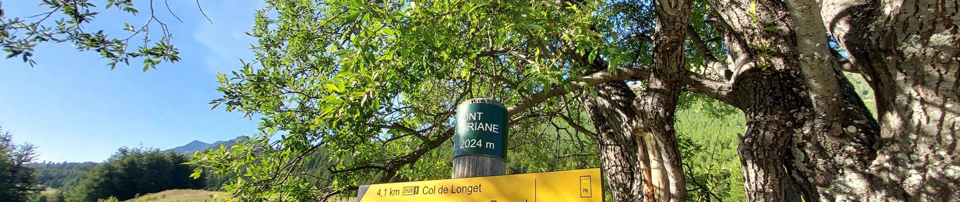
Photos


Positioning
Country:
France
Region :
Provence-Alpes-Côte d'Azur
Department/Province :
Hautes-Alpes
Municipality :
Molines-en-Queyras
Location:
Unknown
Start:(Dec)
Start:(UTM)
334037 ; 4953849 (32T) N.
Comments