


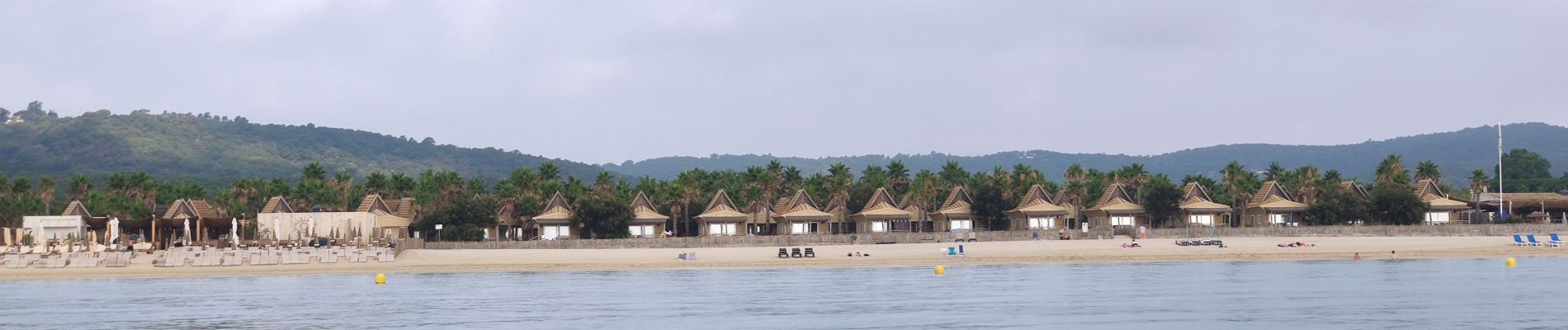
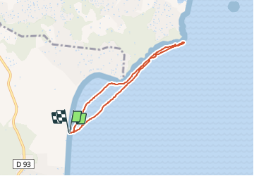
Ramatuelle - Sortie paddle 2eme - Plage de Pampelonne

affinetataille
User GUIDE

Length
6.2 km

Max alt
5 m

Uphill gradient
3 m
Km-Effort
6.3 km

Min alt
0 m

Downhill gradient
3 m
Boucle
Yes
Creation date :
2021-07-22 06:23:04.5
Updated on :
2021-07-22 10:02:47.801
1h53
Difficulty : Very easy

FREE GPS app for hiking
 SityTrail
IGN / Geographical institutes
SityTrail Plus
The world is yours!
About
Trail Canoe - kayak of 6.2 km to be discovered at Provence-Alpes-Côte d'Azur, Var, Ramatuelle. This trail is proposed by affinetataille.
Positioning
Country:
France
Region :
Provence-Alpes-Côte d'Azur
Department/Province :
Var
Municipality :
Ramatuelle
Location:
Unknown
Start:(Dec)
Start:(UTM)
310266 ; 4789631 (32T) N.
Comments