


ferrée col des fourches

duculty
User
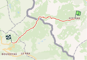

Length
10.4 km

Max alt
2507 m

Uphill gradient
806 m
Km-Effort
19.9 km

Min alt
1884 m

Downhill gradient
427 m
Boucle
No
Creation date :
2021-07-22 05:53:26.266
Updated on :
2021-07-22 13:31:51.268
3h50
Difficulty : Very difficult

FREE GPS app for hiking
 SityTrail
IGN / Geographical institutes
SityTrail Plus
The world is yours!
About
Trail Walking of 10.4 km to be discovered at Piemont, Cuneo, Argentera. This trail is proposed by duculty.
Positioning
Country:
Italy
Region :
Piemont
Department/Province :
Cuneo
Municipality :
Argentera
Location:
Unknown
Start:(Dec)
Start:(UTM)
337031 ; 4913736 (32T) N.
Comments