


20210723 Orcieres les 6 lacs

Sugg
User


Length
13.8 km

Max alt
2702 m

Uphill gradient
1024 m
Km-Effort
27 km

Min alt
1822 m

Downhill gradient
1016 m
Boucle
No
Creation date :
2021-07-23 08:27:59.294
Updated on :
2021-07-23 15:06:42.175
6h00
Difficulty : Medium

FREE GPS app for hiking
 SityTrail
IGN / Geographical institutes
SityTrail Plus
The world is yours!
About
Trail Walking of 13.8 km to be discovered at Provence-Alpes-Côte d'Azur, Hautes-Alpes, Orcières. This trail is proposed by Sugg.
Description
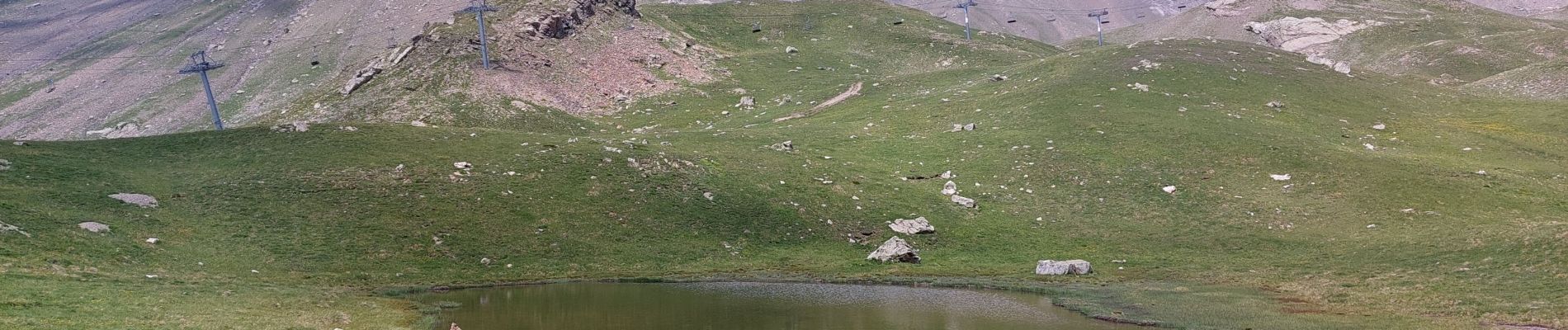
les lacs montée Drouvet 2 telemix et Roche Rousse retour cabine. ça ira comme ça pour aujourd'hui..
durée avec les super pauses et Pic nic.
Photos


Positioning
Country:
France
Region :
Provence-Alpes-Côte d'Azur
Department/Province :
Hautes-Alpes
Municipality :
Orcières
Location:
Unknown
Start:(Dec)
Start:(UTM)
287865 ; 4952850 (32T) N.
Comments
Merci pour ce partage.