12.8 km | 14.7 km-effort
Chambourg-sur-Indre - l'Isle Auger Loches GR46 - 26.7km 325m 5h40 (30mn) - 2021 07 24
Orcal37
User
Length
27 km
Max alt
141 m
Uphill gradient
327 m
Km-Effort
31 km
Min alt
65 m
Downhill gradient
324 m
Boucle
Yes
Creation date :
2021-07-24 09:12:59.324
Updated on :
2021-07-28 17:50:57.325
5h40
Difficulty : Easy
FREE GPS app for hiking
About
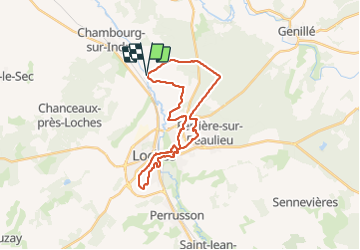
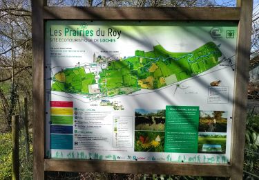
Trail Walking of 27 km to be discovered at Centre-Loire Valley, Indre-et-Loire, Chambourg-sur-Indre. This trail is proposed by Orcal37.
Description
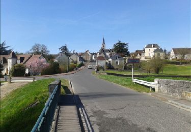
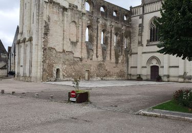
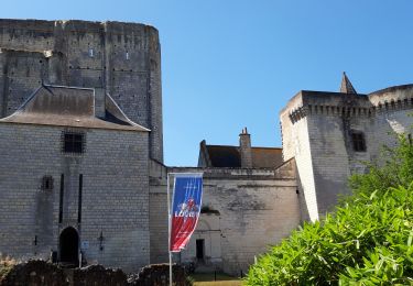
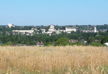
Chambourg-sur-Indre - de l'Isle Auger à Loches via GR46 - 26.7km 325m 5h40 (30mn) - 2021 07 24
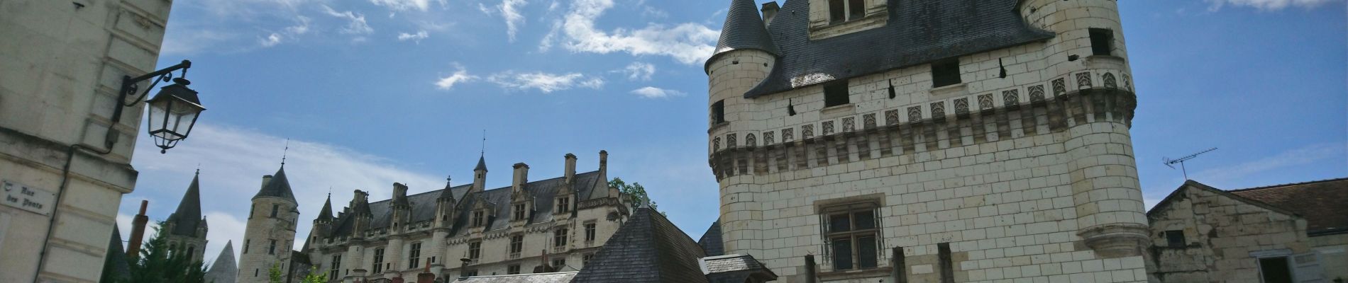
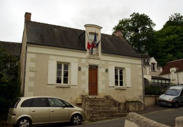
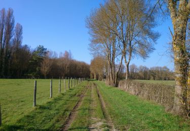
Positioning
Country:
France
Region :
Centre-Loire Valley
Department/Province :
Indre-et-Loire
Municipality :
Chambourg-sur-Indre
Location:
Unknown
Start:(Dec)
Start:(UTM)
347882 ; 5225521 (31T) N.
Comments
Trails nearby
Entre Indre et Indrois
On foot
Easy
Chambourg-sur-Indre,
Centre-Loire Valley,
Indre-et-Loire,
France
10.4 km | 12.1 km-effort
2h 45min
Yes
Azay-sur-Indre - GR46 PR Chambourg-sur-Indre - 18.2km 200m 2h55 (23mn) - 2021...
Walking
Easy
Azay-sur-Indre,
Centre-Loire Valley,
Indre-et-Loire,
France
18.2 km | 21 km-effort
3h 55min
Yes
Chédigny
Walking
Very difficult
(1)
Chédigny,
Centre-Loire Valley,
Indre-et-Loire,
France
19.5 km | 22 km-effort
4h 53min
Yes
Loches inondations
Walking
Very easy
Loches,
Centre-Loire Valley,
Indre-et-Loire,
France
9.7 km | 11.2 km-effort
2h 51min
Yes
Chambourg-sur-Indre
Walking
Medium
Chambourg-sur-Indre,
Centre-Loire Valley,
Indre-et-Loire,
France
13.4 km | 15.3 km-effort
3h 20min
No
Rumba à loches épisode 3
Walking
Easy
Loches,
Centre-Loire Valley,
Indre-et-Loire,
France
6.9 km | 7.4 km-effort
2h 15min
Yes
Loches
Walking
Difficult
Loches,
Centre-Loire Valley,
Indre-et-Loire,
France
10.4 km | 12.4 km-effort
2h 24min
Yes
Beaulieu lès Loches
Walking
Difficult
Loches,
Centre-Loire Valley,
Indre-et-Loire,
France
14.6 km | 16.5 km-effort
2h 34min
Yes