Trail Walking Morre - via francigena - Photo
© OpenStreetMap contributors
Length
Length
26 km
Max alt
Max alt
635 m
Uphill gradient
Uphill gradient
496 m
Km-Effort
Km-Effort  
32 km
Min alt
Min alt
382 m
Downhill gradient
Downhill gradient
410 m
Boucle
Boucle
No
Creation date :
2021-07-19 07:39:22.118
Updated on :
2021-07-25 17:11:17.506

(0 Reviews)

Walking
Walking
153h27
Difficulty : Medium

Scan this QR Code to open this trail in the SityTrail application

FREE GPS app for hiking

Logo SityTrail SityTrail

IGN / Geographical institutes

Download SityTrail from the App Store Download SityTrail from Google Play

Logo SityTrail SityTrail Plus

The world is yours!

Download SityTrail from the App Store Download SityTrail from Google Play Download SityTrail on Huawei AppGallery

About

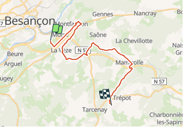
Trail Walking of 26 km to be discovered at Bourgogne-Franche-Comté, Doubs, Morre. This trail is proposed by eltonnermou.

Description

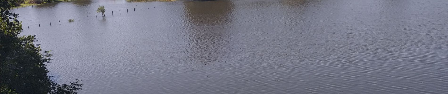
belle étape de cette via. à faire en groupe
après avoir traversé le rond point après Montfaucon, une fois sur le sentier arrivé au niveau de la ferme prendre à gauche et traverser les marais (si praticable) cela raccourcit de 5km la rando et la rend plus agréable (paysage).

Elevation profile

Photos

Positioning

Country:
France
Region :
Bourgogne-Franche-Comté
Department/Province :
Doubs
Municipality :
Morre
Location:
Unknown
Start:(UTM)
276836 ; 5233769 (32T) N.


Close
My subscriptions