


le Chastelas

francq1976
User
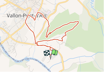

Length
6 km

Max alt
180 m

Uphill gradient
148 m
Km-Effort
8 km

Min alt
86 m

Downhill gradient
148 m
Boucle
Yes
Creation date :
2021-07-27 09:06:25.728
Updated on :
2021-07-27 10:39:03.574
1h30
Difficulty : Easy

FREE GPS app for hiking
 SityTrail
IGN / Geographical institutes
SityTrail Plus
The world is yours!
About
Trail Walking of 6 km to be discovered at Auvergne-Rhône-Alpes, Ardèche, Vallon-Pont-d'Arc. This trail is proposed by francq1976.
Description
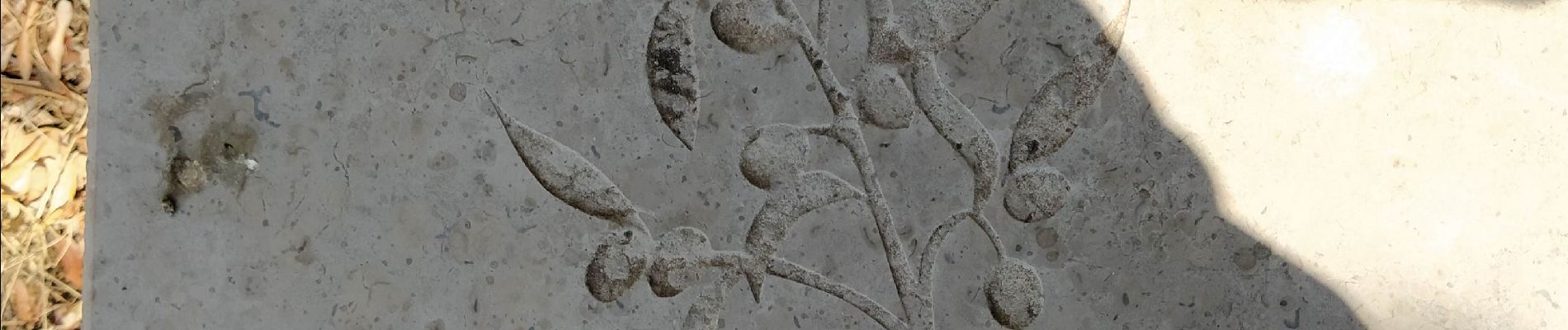
magnifique petite ballade pour découvrir de très beaux points de vues ainsi que la flore de la guarigue...
Photos


Positioning
Country:
France
Region :
Auvergne-Rhône-Alpes
Department/Province :
Ardèche
Municipality :
Vallon-Pont-d'Arc
Location:
Unknown
Start:(Dec)
Start:(UTM)
611500 ; 4916755 (31T) N.
Comments