Trail Walking Bulligny - BULLIGNY - LE BOIS BRULE - Photo

BULLIGNY - LE BOIS BRULE

© OpenStreetMap contributors
Length
Length
8.8 km
Max alt
Max alt
420 m
Uphill gradient
Uphill gradient
199 m
Km-Effort
Km-Effort  
11.4 km
Min alt
Min alt
286 m
Downhill gradient
Downhill gradient
202 m
Boucle
Boucle
Yes
Creation date :
2021-07-27 12:17:29.924
Updated on :
2021-07-27 16:31:31.667

(0 Reviews)

Walking
Walking
4h11
Difficulty : Easy

Scan this QR Code to open this trail in the SityTrail application

FREE GPS app for hiking

Logo SityTrail SityTrail

IGN / Geographical institutes

Download SityTrail from the App Store Download SityTrail from Google Play

Logo SityTrail SityTrail World

The world is yours!

Download SityTrail from the App Store Download SityTrail from Google Play Download SityTrail on Huawei AppGallery

About

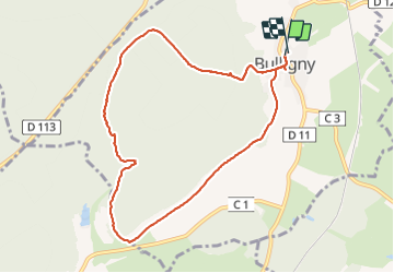
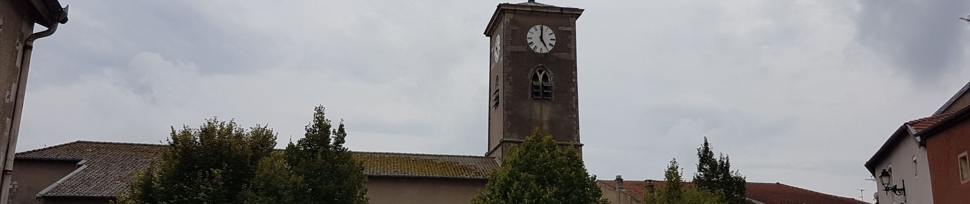
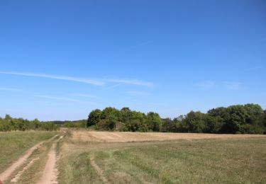
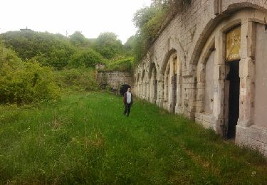
Trail Walking of 8.8 km to be discovered at Grand Est, Meurthe-et-Moselle, Bulligny. This trail is proposed by jean-marie.parachini.

Description

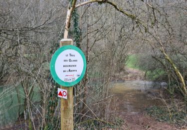
randonnée par les coteaux de Bulligny et la forêt du Bois Brulé.

Elevation profile

Photos

Positioning

Country:
France
Region :
Grand Est
Department/Province :
Meurthe-et-Moselle
Municipality :
Bulligny
Location:
Unknown
Start:(UTM)
710304 ; 5384310 (31U) N.

Trails nearby

Trail Walking Moutrot - chahalot - Photo
Walking
noelphil

Walking

Medium
(1)
Moutrot, Grand Est, Meurthe-et-Moselle, France
8.6 km | 10.1 km-effort
2h 6min
Yes
Trail Walking Allain - Entre Allain et Ochey - Photo
Walking
tracegps

Walking

Medium
Allain, Grand Est, Meurthe-et-Moselle, France
13.9 km | 16.3 km-effort
3h 7min
Yes
Trail Walking Crézilles - la deuille résurgences départ ochey - Photo
Walking
Jenn8

Walking

Easy
Crézilles, Grand Est, Meurthe-et-Moselle, France
6 km | 7 km-effort
1h 43min
Yes
Trail sport Moutrot - Moutrot  - Photo
sport
LAURENTPATRICK

sport

Very easy
Moutrot, Grand Est, Meurthe-et-Moselle, France
4.1 km | 4.8 km-effort
Unknown
Yes
Trail Walking Moutrot - chahalot - Photo
Walking
noelphil

Walking

Medium
Moutrot, Grand Est, Meurthe-et-Moselle, France
9.2 km | 10.8 km-effort
3h 8min
Yes
Trail Walking Allamps - Allamps  - Photo
Walking
topnature !

Walking

Medium
Allamps, Grand Est, Meurthe-et-Moselle, France
18.6 km | 22 km-effort
3h 24min
No
Trail Walking Bulligny - bullig - Photo
Walking
Nila81

Walking

Medium
Bulligny, Grand Est, Meurthe-et-Moselle, France
7.4 km | 9.5 km-effort
2h 5min
No
Trail Walking Rigny-Saint-Martin - st fiacre-choloy - Photo
Walking
mannequ1

Walking

Medium
Rigny-Saint-Martin, Grand Est, Meuse, France
18.6 km | 23 km-effort
3h 56min
Yes
Trail Walking Blénod-lès-Toul - rando 12km vers Bulligny - Photo
Walking
sandra54570

Walking

Difficult
Blénod-lès-Toul, Grand Est, Meurthe-et-Moselle, France
11.9 km | 15.6 km-effort
1h 36min
Yes


Close
My subscriptions