


Col de la Chavade-Banne-Source de l'Ardèche V3

Lustou
User
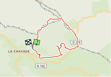

Length
8 km

Max alt
1436 m

Uphill gradient
200 m
Km-Effort
10.6 km

Min alt
1317 m

Downhill gradient
204 m
Boucle
Yes
Creation date :
2020-10-19 07:36:32.0
Updated on :
2021-12-19 20:54:26.267
3h00
Difficulty : Unknown

FREE GPS app for hiking
 SityTrail
IGN / Geographical institutes
SityTrail Plus
The world is yours!
About
Trail Walking of 8 km to be discovered at Auvergne-Rhône-Alpes, Ardèche, Astet. This trail is proposed by Lustou.
Description
Rando du 19/10/2020
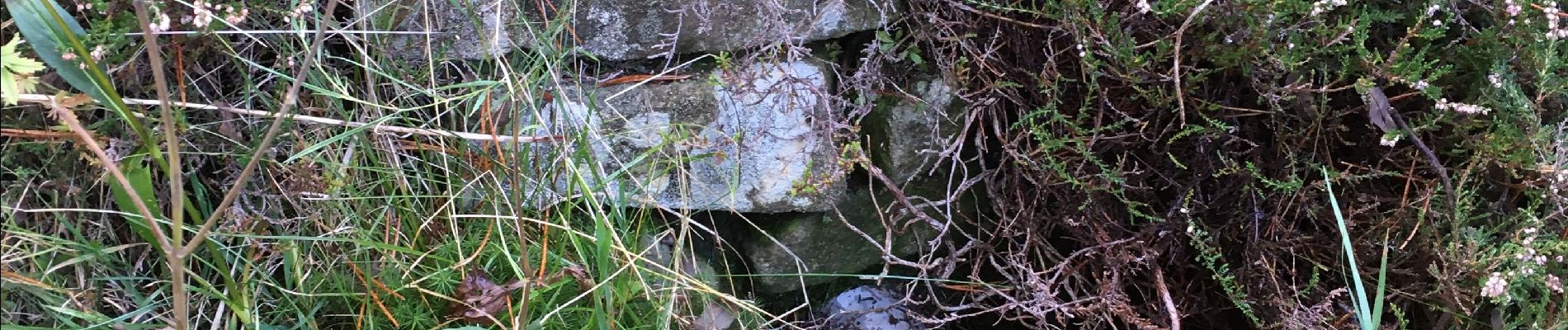
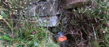
Photos


Positioning
Country:
France
Region :
Auvergne-Rhône-Alpes
Department/Province :
Ardèche
Municipality :
Astet
Location:
Unknown
Start:(Dec)
Start:(UTM)
581535 ; 4950019 (31T) N.
Comments