


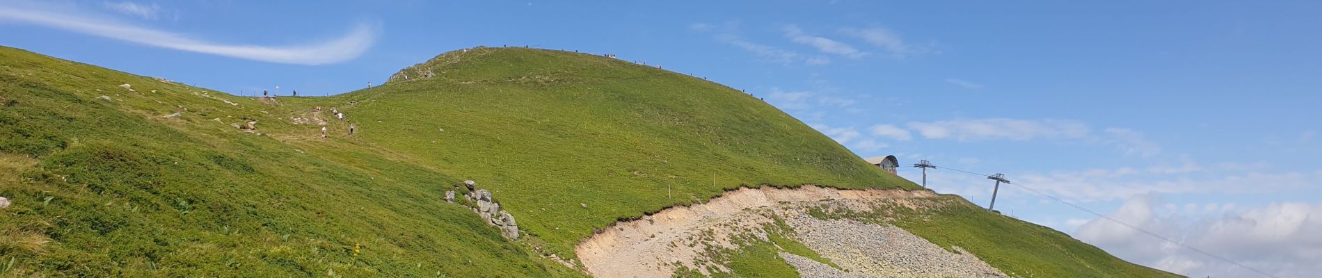
Le Plomb du Cantal

VacheKiri67
User
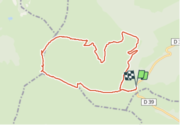


4h29
Difficulty : Medium

FREE GPS app for hiking
 SityTrail
IGN / Geographical institutes
SityTrail Plus
The world is yours!
About
Trail Walking of 11 km to be discovered at Auvergne-Rhône-Alpes, Cantal, Albepierre-Bredons. This trail is proposed by VacheKiri67.
Description
Faite le 27/07/2021. Au départ du parking au Col de Prat de Bouc.
Chaussures de montagne indispensables.
Balisage : jaune. Retour par les Rochers de Chamalières.
Voir https://www.hautesterrestourisme.fr/fr/le-plomb-du-cantal-1
Photos


39 photos in total. Please click on a photo to see them all in the gallery.
Positioning
Comments