


Montoncel

bendoush
User
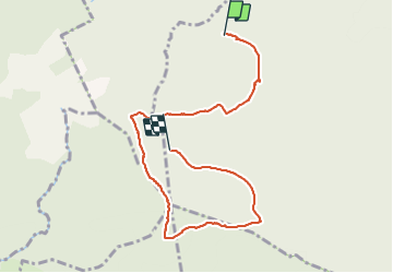

Length
7.8 km

Max alt
1286 m

Uphill gradient
317 m
Km-Effort
11.5 km

Min alt
1027 m

Downhill gradient
149 m
Boucle
No
Creation date :
2021-07-23 12:22:24.0
Updated on :
2021-07-28 09:19:15.439
2h11
Difficulty : Medium

FREE GPS app for hiking
 SityTrail
IGN / Geographical institutes
SityTrail Plus
The world is yours!
About
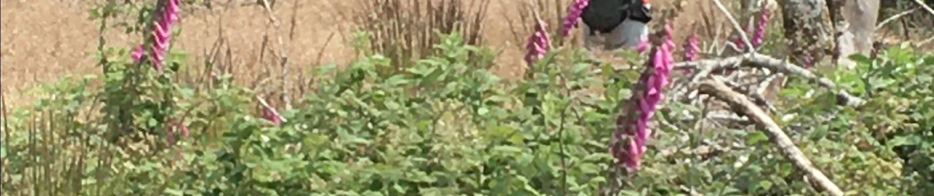
Trail Walking of 7.8 km to be discovered at Auvergne-Rhône-Alpes, Loire, Saint-Priest-la-Prugne. This trail is proposed by bendoush.
Photos


Positioning
Country:
France
Region :
Auvergne-Rhône-Alpes
Department/Province :
Loire
Municipality :
Saint-Priest-la-Prugne
Location:
Unknown
Start:(Dec)
Start:(UTM)
554462 ; 5088663 (31T) N.
Comments