


les lavandes d'Alix

cdanielrando
User
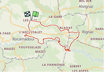

Length
19.5 km

Max alt
320 m

Uphill gradient
389 m
Km-Effort
25 km

Min alt
138 m

Downhill gradient
386 m
Boucle
Yes
Creation date :
2021-07-28 08:07:34.687
Updated on :
2021-07-29 09:20:32.237
6h44
Difficulty : Medium

FREE GPS app for hiking
 SityTrail
IGN / Geographical institutes
SityTrail Plus
The world is yours!
About
Trail Walking of 19.5 km to be discovered at Occitania, Lot, Rocamadour. This trail is proposed by cdanielrando.
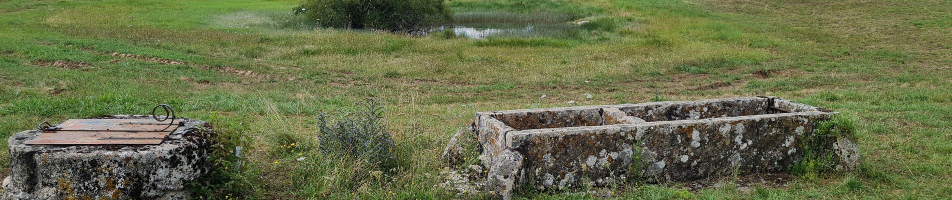
Photos


21 photos in total. Please click on a photo to see them all in the gallery.
Positioning
Country:
France
Region :
Occitania
Department/Province :
Lot
Municipality :
Rocamadour
Location:
Unknown
Start:(Dec)
Start:(UTM)
391537 ; 4963275 (31T) N.
Comments