


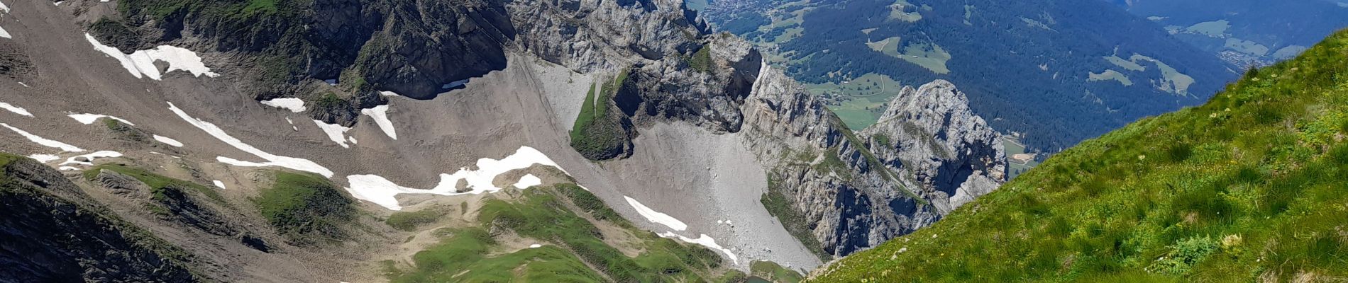
ARAVIS: LES CONFINS - LAC DE TARDEVANT - POINTE DE TARDEVANT

djeepee74
User


6h30
Difficulty : Difficult

FREE GPS app for hiking
 SityTrail
IGN / Geographical institutes
SityTrail Plus
The world is yours!
About
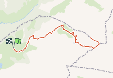
Trail Walking of 13.1 km to be discovered at Auvergne-Rhône-Alpes, Upper Savoy, La Clusaz. This trail is proposed by djeepee74.
Description
Circuit Aller / Retour... live 20210729.
Départ du parking de l'Arpettaz / chèvrerie des Confins.
Un peu de monde, au lac, le week-end et en saison.
Ca grimpe fort du lac à la crête sud-est de l'Ambrevetta.
Ensuite l'arête jusqu'à la pointe de Tardevant peut sembler impressionnante, mais sans difficulté particulière _ quoiqu'aérienne... si on y met les pieds par terrain sec.
Variante ( 900 m.): Au retour, à partir du Km 10, on peut descendre vers Bombardellaz, puis la Pierre Marquée pour rejoindre Paccaly.
Photos


Positioning
Comments