


pic de Caraussan

rolandariege
User
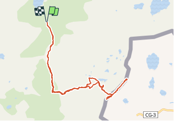

Length
12.7 km

Max alt
2691 m

Uphill gradient
1078 m
Km-Effort
27 km

Min alt
1647 m

Downhill gradient
1078 m
Boucle
Yes
Creation date :
2021-07-29 06:48:19.944
Updated on :
2021-07-29 19:24:28.219
5h28
Difficulty : Difficult

FREE GPS app for hiking
 SityTrail
IGN / Geographical institutes
SityTrail Plus
The world is yours!
About
Trail Walking of 12.7 km to be discovered at Occitania, Ariège, Auzat. This trail is proposed by rolandariege.
Description
randonnée haute montagne.
Positioning
Country:
France
Region :
Occitania
Department/Province :
Ariège
Municipality :
Auzat
Location:
Unknown
Start:(Dec)
Start:(UTM)
372874 ; 4723766 (31T) N.
Comments