


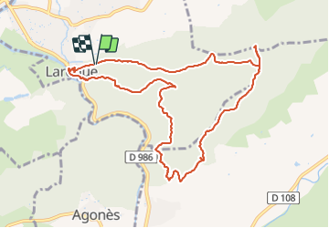
Laroque - Avens, menhir - Rocher du Pin

Bart2015
User


8h24
Difficulty : Medium

FREE GPS app for hiking
 SityTrail
IGN / Geographical institutes
SityTrail Plus
The world is yours!
About
Trail Walking of 11.6 km to be discovered at Occitania, Hérault, Laroque. This trail is proposed by Bart2015.
Description
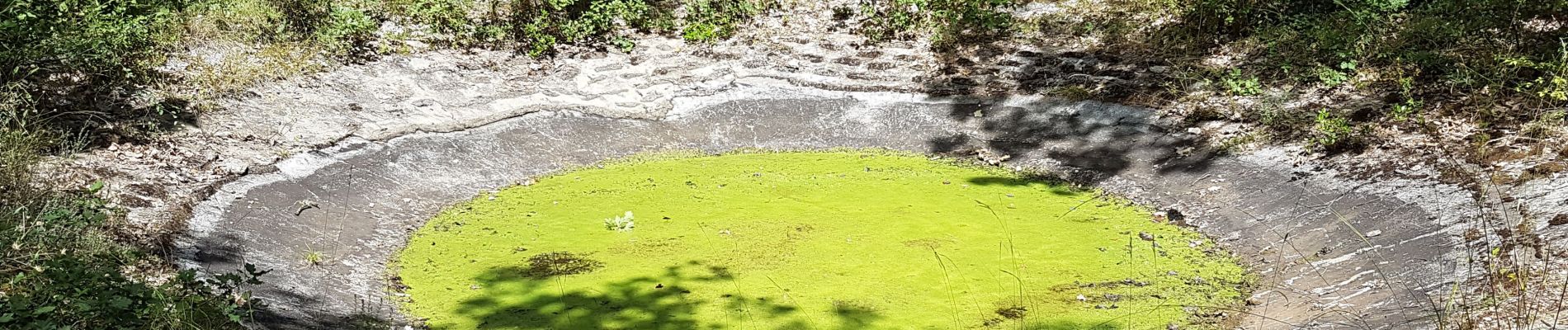
Petite randonnée pour découvrir le joli village de Laroque et les nombreux avens qui longent le sentier (un aven est un abîme). Peut-être trouverez-vous les menhirs, mais il faut chercher et avoir de l'imagination. Profitez de la magnifique vue sur la rivière de l'Hérault.
Si cela vous tente, vous pourrez en profiter pour visiter la Grotte des Demoiselles, accessible à proximité.
Bonne randonnée ...
Photos


38 photos in total. Please click on a photo to see them all in the gallery.
Positioning
Comments