


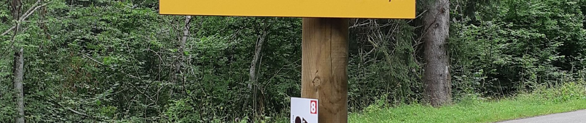
PUYS DE LASSOLAS ET DE LA VACHE

walrou63
User

Length
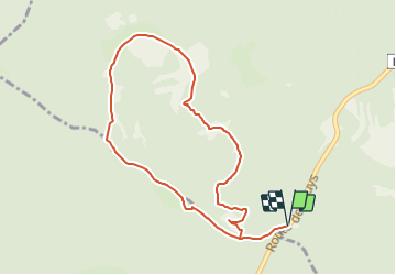
4.5 km

Max alt
1174 m

Uphill gradient
249 m
Km-Effort
7.8 km

Min alt
984 m

Downhill gradient
250 m
Boucle
Yes
Creation date :
2021-08-03 13:33:03.877
Updated on :
2021-08-04 09:41:38.205
1h50
Difficulty : Difficult

FREE GPS app for hiking
 SityTrail
IGN / Geographical institutes
SityTrail Plus
The world is yours!
About
Trail Walking of 4.5 km to be discovered at Auvergne-Rhône-Alpes, Puy-de-Dôme, Saint-Genès-Champanelle. This trail is proposed by walrou63.
Photos


Positioning
Country:
France
Region :
Auvergne-Rhône-Alpes
Department/Province :
Puy-de-Dôme
Municipality :
Saint-Genès-Champanelle
Location:
Unknown
Start:(Dec)
Start:(UTM)
497432 ; 5060867 (31T) N.
Comments