


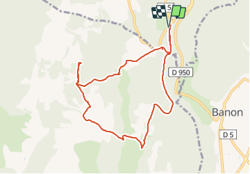

9.6 km | 12.7 km-effort

User


FREE GPS app for hiking
 SityTrail
IGN / Geographical institutes
SityTrail World
The world is yours!
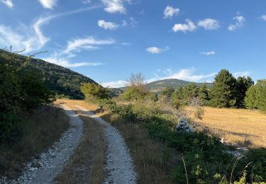
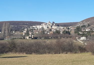
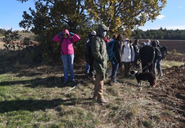
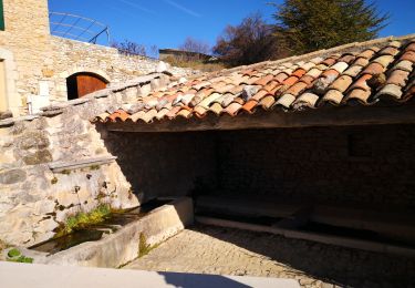
Trail Walking of 9.7 km to be discovered at Provence-Alpes-Côte d'Azur, Alpes-de-Haute-Provence, Redortiers. This trail is proposed by dsurin.
Depuis parking au carrefour de la route de Redortier avec la route Banon-Sault (D950)


Walking
Walking
Walking
Walking
Walking
Walking
Walking
Walking
Walking