


Pont de Lariane- Col du Longet

dridri002
User
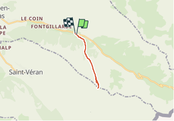

Length
7.6 km

Max alt
2702 m

Uphill gradient
668 m
Km-Effort
16.5 km

Min alt
2022 m

Downhill gradient
675 m
Boucle
Yes
Creation date :
2021-08-06 10:02:06.854
Updated on :
2021-08-06 14:00:59.748
2h31
Difficulty : Difficult

FREE GPS app for hiking
 SityTrail
IGN / Geographical institutes
SityTrail Plus
The world is yours!
About
Trail Walking of 7.6 km to be discovered at Provence-Alpes-Côte d'Azur, Hautes-Alpes, Molines-en-Queyras. This trail is proposed by dridri002.
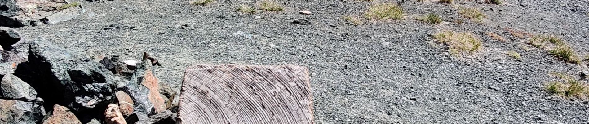
Photos

Positioning
Country:
France
Region :
Provence-Alpes-Côte d'Azur
Department/Province :
Hautes-Alpes
Municipality :
Molines-en-Queyras
Location:
Unknown
Start:(Dec)
Start:(UTM)
334055 ; 4953773 (32T) N.
Comments