


Vosges rochestocsuaine

drkb
User
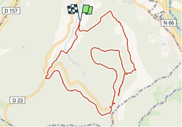

Length
13 km

Max alt
725 m

Uphill gradient
401 m
Km-Effort
18.4 km

Min alt
462 m

Downhill gradient
399 m
Boucle
Yes
Creation date :
2021-08-08 08:54:43.3
Updated on :
2021-08-08 13:31:40.863
3h58
Difficulty : Difficult

FREE GPS app for hiking
 SityTrail
IGN / Geographical institutes
SityTrail Plus
The world is yours!
About
Trail Walking of 13 km to be discovered at Grand Est, Vosges, Remiremont. This trail is proposed by drkb.
Positioning
Country:
France
Region :
Grand Est
Department/Province :
Vosges
Municipality :
Remiremont
Location:
Unknown
Start:(Dec)
Start:(UTM)
319791 ; 5319837 (32U) N.
Comments