


20210809 Chamonix Les Tines

Childebert
User
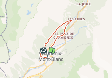

Length
9.8 km

Max alt
1283 m

Uphill gradient
287 m
Km-Effort
13.6 km

Min alt
1041 m

Downhill gradient
289 m
Boucle
Yes
Creation date :
2021-08-09 08:34:31.337
Updated on :
2021-08-09 18:01:19.798
3h31
Difficulty : Medium

FREE GPS app for hiking
 SityTrail
IGN / Geographical institutes
SityTrail Plus
The world is yours!
About
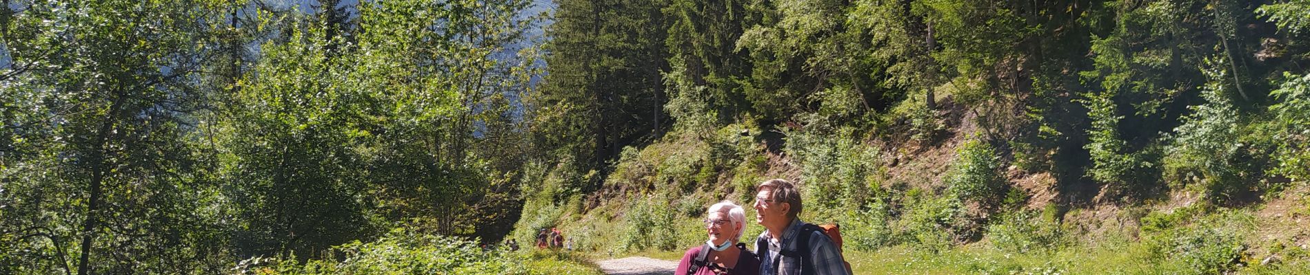
Trail Walking of 9.8 km to be discovered at Auvergne-Rhône-Alpes, Upper Savoy, Chamonix-Mont-Blanc. This trail is proposed by Childebert.
Photos


Positioning
Country:
France
Region :
Auvergne-Rhône-Alpes
Department/Province :
Upper Savoy
Municipality :
Chamonix-Mont-Blanc
Location:
Unknown
Start:(Dec)
Start:(UTM)
334807 ; 5087768 (32T) N.
Comments