


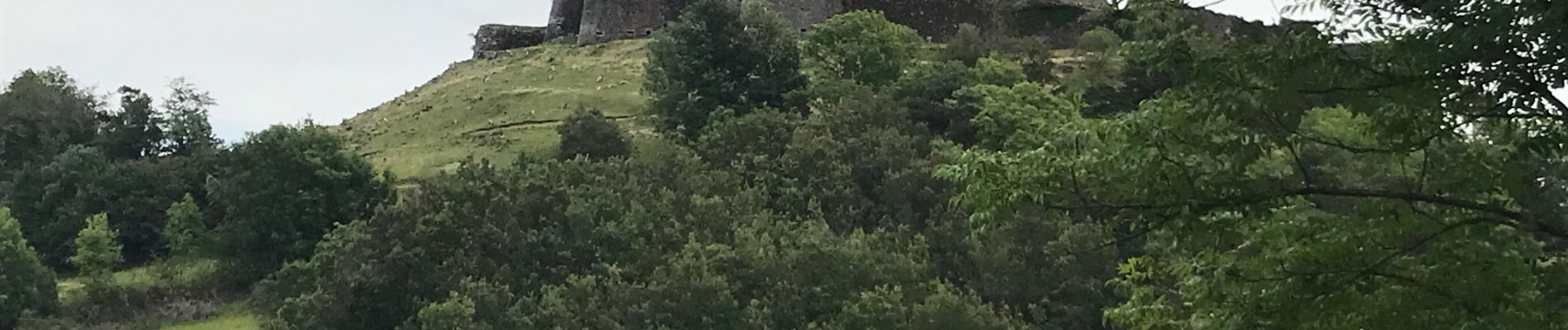
Murol les grottes de Rabat (6,8 km - D. 259 m)

Thomasdanielle
User
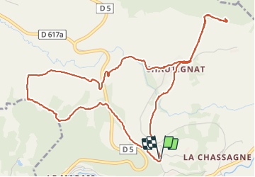

Length
6.8 km

Max alt
1048 m

Uphill gradient
259 m
Km-Effort
10.3 km

Min alt
860 m

Downhill gradient
262 m
Boucle
Yes
Creation date :
2021-08-09 13:43:28.0
Updated on :
2021-08-21 09:10:06.699
3h09
Difficulty : Easy

FREE GPS app for hiking
 SityTrail
IGN / Geographical institutes
SityTrail Plus
The world is yours!
About
Trail Walking of 6.8 km to be discovered at Auvergne-Rhône-Alpes, Puy-de-Dôme, Murol. This trail is proposed by Thomasdanielle.
Description
Départ du parking de Murol
Photos
 - Photo 1")
 - Photo 2")
 - Photo 3")
 - Photo 4")
 - Photo 5")
 - Photo 6")
 - Photo 7")
 - Photo 8")
Positioning
Country:
France
Region :
Auvergne-Rhône-Alpes
Department/Province :
Puy-de-Dôme
Municipality :
Murol
Location:
Unknown
Start:(Dec)
Start:(UTM)
495500 ; 5047128 (31T) N.
Comments