


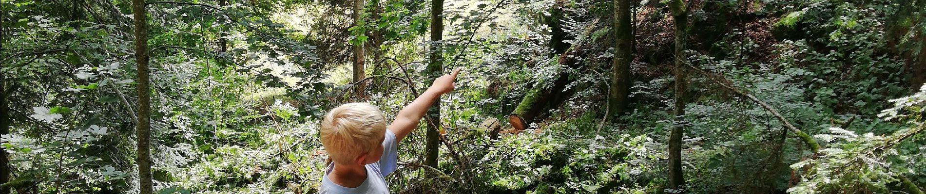
cascade de Hohwald

apa
User
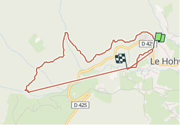

Length
5.2 km

Max alt
740 m

Uphill gradient
147 m
Km-Effort
7.2 km

Min alt
590 m

Downhill gradient
156 m
Boucle
No
Creation date :
2021-08-10 09:27:47.401
Updated on :
2021-08-10 12:05:14.052
1h02
Difficulty : Very easy

FREE GPS app for hiking
 SityTrail
IGN / Geographical institutes
SityTrail Plus
The world is yours!
About
Trail Walking of 5.2 km to be discovered at Grand Est, Bas-Rhin, Le Hohwald. This trail is proposed by apa.
Description
Petite rando facile pour les enfants
Photos


Positioning
Country:
France
Region :
Grand Est
Department/Province :
Bas-Rhin
Municipality :
Le Hohwald
Location:
Unknown
Start:(Dec)
Start:(UTM)
375897 ; 5362703 (32U) N.
Comments