


19.8 km | 22 km-effort

User


FREE GPS app for hiking
 SityTrail
IGN / Geographical institutes
SityTrail World
The world is yours!
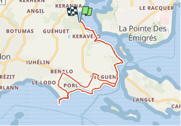
Trail Walking of 10.2 km to be discovered at Brittany, Morbihan, Arradon. This trail is proposed by gildascb.
Se garer sur le point GPS suivant: 47.635937, 2.794196 (Arradon). Il y a un petit parking. On accède directement au GR34 qui fait le tour du golfe (180 km au total). Si vous voulez faire d'autres étapes, voir le lien ci-après
https://www.morbihan.com/locmariaquer/le-gr-34-le-tour-du-golfe/tabid/12548/offreid/f205a9e1-53af-4beb-8e9c-c9ae5a41fa61
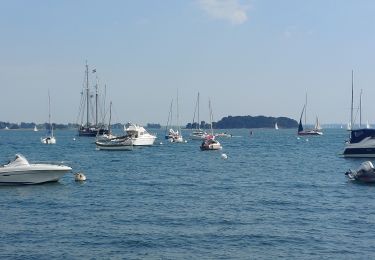
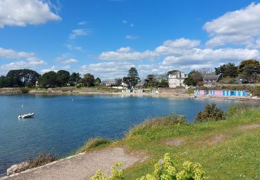
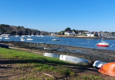
Petite randonnée de 10 km très sympa, relativement ombragée, qui permet de longer la presqu'ile de Conleau, port Anna, la "maison rose", voir la magnifique ile privée de Boëdic (avec sa petite chapelle, ses communs et son manoir). Ensuite, on longe le manoir de Roguedas, propriété de la famille Halley (fondateur du groupe Promodès-Carrefour) puis on arrive à la pointe de Penboc'h avec une très belle vue sur le golfe (ile d'Arz, ile aux moines).
Nota: La portion située au niveau du manoir de Roguedas n'est pas accessible à marée haute (sinon, suivre en permanence le GR34 comme nous l'avons fait sur le chemin du retour.
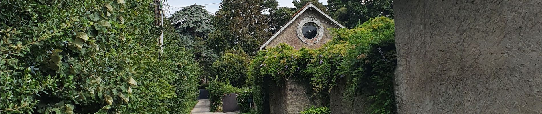
 - Photo 1")
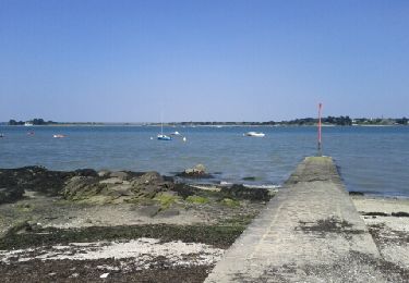
 - Photo 2")
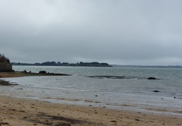
 - Photo 3")
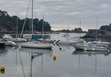
 - Photo 4")
Walking

Cycle

Walking
Walking
Walking
Walking

Walking
Walking
Walking