


col et Tunnel de la Traversette/Refuge du Viso/Lac de Lestio.13/08/21

Dervalmarc
User

Length
23 km

Max alt
2946 m

Uphill gradient
1328 m
Km-Effort
41 km

Min alt
1792 m

Downhill gradient
1328 m
Boucle
Yes
Creation date :
2021-08-13 05:56:27.15
Updated on :
2021-08-16 14:25:24.359
11h27
Difficulty : Very difficult

FREE GPS app for hiking
 SityTrail
IGN / Geographical institutes
SityTrail Plus
The world is yours!
About
Trail Walking of 23 km to be discovered at Provence-Alpes-Côte d'Azur, Hautes-Alpes, Abriès-Ristolas. This trail is proposed by Dervalmarc.
Description
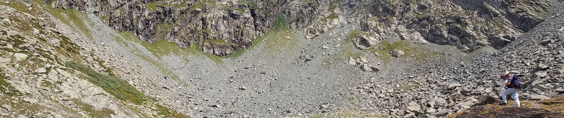
Randonnée difficile en raison de sa longueur, plus de 20 km,et plus de 1000m de dénivelé.
Randonnée très varié.
Photos


Positioning
Country:
France
Region :
Provence-Alpes-Côte d'Azur
Department/Province :
Hautes-Alpes
Municipality :
Abriès-Ristolas
Location:
Ristolas
Start:(Dec)
Start:(UTM)
341359 ; 4955657 (32T) N.
Comments